
DJI Matrice 4E Solution
DJI Matrice 4E
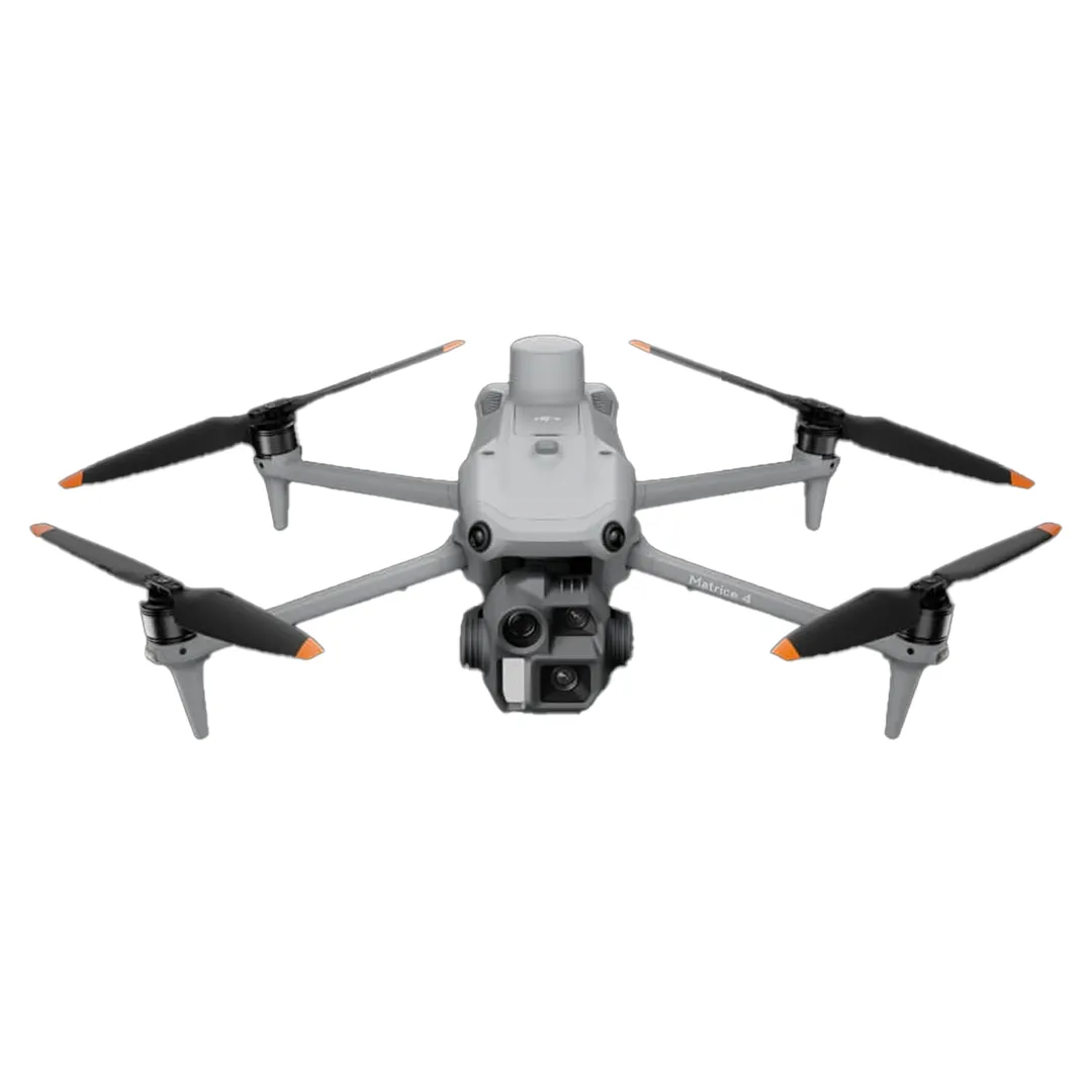
The DJI Matrice 4E is an intelligent drone. This multi-sensor flagship features AI sensing, a laser rangefinder, and precise mapping. Ideal for geographic applications, construction, and mining.
DJIMatrice4E
The DJI Matrice 4E is an intelligent drone. This multi-sensor flagship features AI sensing, a laser rangefinder, and precise mapping. Ideal for geographic applications, construction, and mining.
Key Features
IntelligentOperations
The built-in model can detect vehicles, ships, and targets during search and rescue operations or routine flights. It also supports switching between other models, expanding application scenarios. Features include: Automatic detection of vehicles, ships, and targets; AI optimized for search and rescue operations; High-resolution grid photos and tracking system.
LaserDistanceMeter,PreciseMeasurement
The laser rangefinder enables precise real-time measurements. Simple operations like pinpointing, line drawing, and area calculation can be used to complete tasks such as marking target locations for inspection purposes or calculating the area of a wildfire. Precise pinpointing and target location marking; Detailed measurements via line drawing and area calculation; Collaboration via DJI Pilot QR code and FlightHub 2.
ObservationIntervalRecord
DJI Pilot 2 can highlight the center position of the camera frame and the observed ground area. It can display the examined area on a map, which is extremely useful for patrol and rescue operations, especially in mountainous terrain without prominent landmarks. Features include: Precise determination of the camera frame center position; Real-time display of examined areas on a map; Operation in mountainous terrain without prominent landmarks.
PreciseMapping,TimeSavingandEffortless.
The Matrice 4E wide-angle camera supports fast 0.5-second interval shooting in both orthophoto and oblique photography modes, enabling high-speed aerial scanning from multiple angles. Mapping flight speed can reach up to 21 meters per hour. High-speed aerial scanning from multiple angles significantly increases operational efficiency.
Intelligent3DCapture,PreciseModeling
The DJI Matrice 4E supports Intelligent 3D Capture, allowing you to create and capture a rough model remotely. Based on this rough model, you can quickly generate precise mapping routes near building surfaces, and complete detailed measurements and modeling of irregular structures. Features include: rapid model creation via remote control; automatic route planning near building surfaces; and flight safety analysis with virtual space routes.
Geographic Applications
High-precision mapping and surveying operations; Progress monitoring and measurement in construction projects; Safe and precise measurements in mining sites; Search and rescue operations with AI-assisted target detection; Routine inspection and review operations; AI-assisted data analysis and reporting.
DJI Matrice 4's Smart Tracking Feature
Target tracking and intelligent monitoring capabilities with advanced AI technology. Automatic target detection and continuous tracking system maximize operational efficiency. You can explore the intelligent tracking features of the DJI Matrice 4 in detail on our YouTube channel. Discover the product's capabilities with real-time test videos and application examples.
DJI Matrice 4E with Defense Guarantee
Elevate your geographic applications, construction projects, and mining operations to a new level with intelligent operations, precise measurement, and advanced AI capabilities. Our expert team is ready to provide you with the most suitable solution. Benefit from professional support, technical service, and training services with Bisavunma's guarantee.
GetaQuote
Contact our team for detailed information and a tailored enterprise quote for DJI Matrice 4E and our other solutions.