
DJI Zenmuse L1 Solution
DJI Zenmuse L1
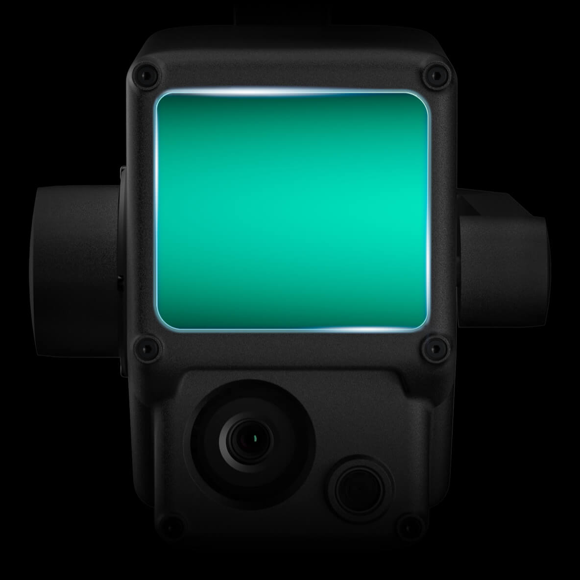
DJI Zenmuse L1 LiDAR + RGB solution. 240,000 pts/s, 450m detection range, 5cm/10cm accuracy, 2km² single flight coverage, IP54 protection. Ideal for aerial mapping.
DJIZenmuseL1
DJI Zenmuse L1 LiDAR + RGB solution. 240,000 pts/s, 450m detection range, 5cm/10cm accuracy, 2km² single flight coverage, IP54 protection. Ideal for aerial mapping.
Key Features
Technical Specifications
DJI Zenmuse L1 LiDAR system includes: LiDAR sensor, 3-axis gimbal, connection cables, power cable, data cable, mounting parts, protective case, user manual, technical specifications, safety guide, and warranty card.
Application Scenarios
LiDAR + RGB solution for use in various industries; Fast topographic mapping with accurate digital elevation models; High-accuracy point clouds and 3D models; Real-time true-color point clouds around the clock; Real-time situational awareness and forensic intelligence; Detailed modeling of sparse or complex structures; Plant density, area, stock volume, and growth trends.
Box Contents
The DJI Zenmuse L1 comes with all accessories ready for use. Main Product: DJI Zenmuse L1 LiDAR system + Livox LiDAR sensor + 20MP RGB camera + 3-axis gimbal. Connections: Gimbal mounting cables + power connector. Accessories: Power cable, data cable, mounting parts, protective case. Documentation: User manual, technical specifications, safety guide, warranty certificate.
Instant Clarity with DJI Zenmuse L1. Superior Accuracy.
For professional mapping solutions with LiDAR + RGB resolution, offering 240,000 pts/s, 450m detection range, 5cm/10cm accuracy, and 2km² single-flight coverage, contact us now.
GetaQuote
Contact our team for detailed information and a tailored enterprise quote for DJI Zenmuse L1 and our other solutions.